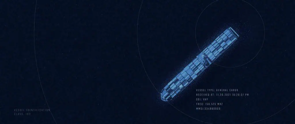
HawkEye 360 Inc., the world’s leading commercial provider of space-based Radio Frequency (RF) data and analytics, released a new maritime association analytics capability which analyzes RF signal geolocations and third-party global AIS maritime geolocations to provide insight into potential dark ship activity in key areas of interest (AOI) across the world. The maritime insights enable organizations to understand anomalies in the maritime domain and more effectively employ other collection and surveillance modalities to gather intelligence. This capability will allow coast guards, navies, law enforcement, fisheries, and non-profit organizations to increase maritime domain awareness and quickly identify RF activity that cannot be attributed to publicly identifiable maritime activity.
“Finding dark vessels and illicit maritime activity shouldn’t involve endless trial and error and manual analysis with various data sources,” said Tim Pavlick, Vice President of Product, Design and AI. “HawkEye 360 is transforming Multi-INT sources into critical insights and creating analytic tools that multiply the value of RF monitoring by an order of magnitude, allowing analysts to gain a more holistic understanding of areas and events that matter most to them.”
The algorithm analyzes the temporal and spatial attributes for AIS and HawkEye 360 data sets to automatically associate RF signal geolocations and with vessels’ AIS data. If there are high probability matches, then those geolocations are associated with Maritime Mobile Service Identity (MMSI) numbers and tagged with numeric scores. If there are no associations, the RF geolocations are flagged as DarkRF.
“Illicit activities at sea continue to rise, costing global economies billions of dollars and threatening global security,” said Chief Growth Officer, Alex Fox. “HawkEye 360’s unique capability can detect and geolocate dark ship activity across the globe and provide trusted analytics to support enforcement and prosecution associated with these activities. Our subscription services to monitor millions of square kilometers of ocean to detect activities such as illegal fishing, which alone costs the global economy $10-$24 billion dollars per year.
The Maritime Association analytics are available as an add-on to HawkEye 360’s RFGeoTM subscription service or through our Mission SpaceTM analytics platform.
For additional information, see the resource link below.
For more information about HawkEye 360’s capabilities, please visit he360.com.


