


Accurate ocean depths and seafloor topography are essential for navigation, resource management, tsunami forecasting, telecommunications, understanding weather and climate, managing environmental changes, and so much more. But only 23% of the global ocean has been mapped using modern, high-resolution tools, leaving substantial gaps in our knowledge about our oceans. This week, Saildrone is excited to kick off our first ocean mapping mission on the US East Coast.
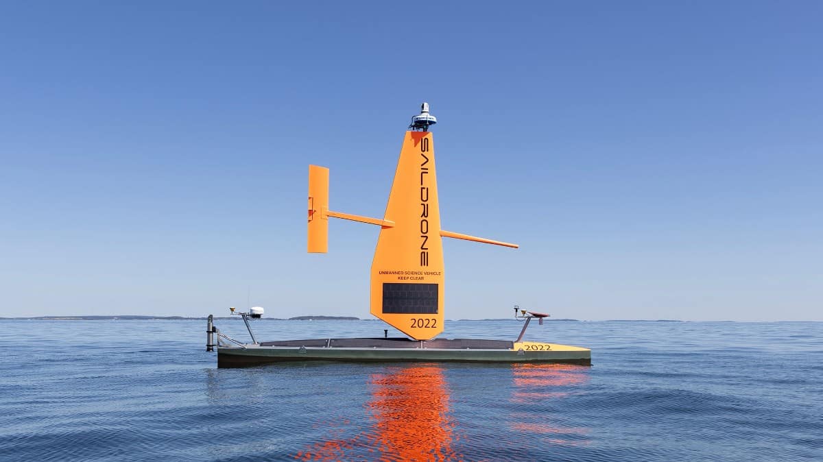
Two Saildrone uncrewed surface vehicles (USVs) will spend the next two months mapping an area in the north-central Gulf of Maine in support of National Oceanic and Atmospheric Administration (NOAA) deep-sea coral surveys. The area where they are operating in the Gulf of Maine has never before been mapped in high resolution using modern tools.

Vehicle locations and safety features
The two vehicles will be working in the same general section of the study area but could be 5 – 10 nautical miles apart from each other, surveying separate tracklines in adjacent blocks. Each vehicle will be operating in small portions of the total survey footprint, surveying one 2.7 nm x 2.7 nm square each day. The vehicles are beginning the survey at the southern end of the survey area and are progressing north.
The first two weeks of operations are scheduled to be conducted south of 43°N. As the survey progresses, updates on anticipated vehicle coordinates and areas completed will be published weekly on our blog. The total polygonal area of operation across the two-month mission is depicted in the chart and coordinates below.

To ensure safe operations at sea, each vehicle is equipped with an Automatic Identification System (AIS) transceiver, enabling it to see and be seen by surrounding commercial traffic. The vehicles are slow relative to other marine users and operate at speeds between 2 – 4 knots, moving between a series of predetermined waypoints. They are designed with high visibility colors for daytime visibility, a bright navigation light for nighttime awareness, and are equipped with a radar reflector. Onboard cameras provide domain awareness to operators at Saildrone Mission Control and are monitored remotely 24/7.
Vehicle operations for the week of September 3
For the period of September 3 – September 10, 2023, Saildrone will begin data collection in the southern portion of the area in the survey blocks identified as follows and in the figure below:
Vehicle 1 – Surveying from east to west blocks 229, 202, 167, 129, 92; bounding coordinates 42.74N, 67.92W by 42.69N, 67.65W.
Vehicle 2 – Surveying from west to east blocks 94, 131, 169, 204, 231, 254; bounding coordinates 42.65N, 67.88W by 42.60N, 67.60W.
Because Saildrone vehicles are dependent on wind for propulsion, actual survey progress will be dependent on environmental conditions. For planning purposes, we anticipate it will take one to two days to complete a survey block before proceeding to the next area.