



Combining GMDSS call statistics with an industry-first maritime safety broadcast analysis, Inmarsat Maritime’s new safety data platform aims to support shipping in addressing its persistent and evolving operational risks.
Deep-sea shipping is an inherently hazardous enterprise and the many operational risks faced by vessels, cargo, and crew will likely never be eliminated entirely. Nevertheless, data can play a significant role in minimising the frequency and severity of incidents at sea.
As the maritime threat landscape continues to evolve, so too must the quality of information available to the industry.
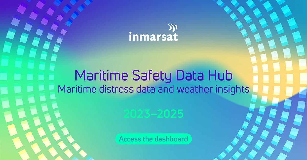
Inmarsat Maritime recently launched the Maritime Safety Data Hub, which combines Global Maritime Distress and Safety System (GMDSS) call data with an industry-first analysis of maritime safety broadcasts. Complementing this unique dataset is a series of interviews with maritime safety experts conducted by Inmarsat’s research partner, SeaFocus International, as part of the Safety Hub’s development.
The resultant platform provides unprecedented insight into global shipping risk, moving beyond reporting individual incidents to identify patterns, trends, and the evolving impact of environmental hazards, operational pressures, and geopolitical instability on safety at sea.
Managing weather hazards
Among the 106,975 maritime safety broadcasts made in 2025, 2.6% were marked ‘urgent’. Of these, Inmarsat analysis identified 84.6% as related to weather, with storms and gales representing 75% and 20% of meteorological hazards, respectively. Despite accounting for just 4% of these hazards, cyclones were responsible for over 99% of urgent weather messages, reflecting their disproportionate impact on safety.
Inmarsat’s findings also revealed that, on average, around 10 weather warnings were broadcast in the 12 hours preceding each distress event – offering a clear correlation between hazardous meteorological conditions and increased operational risk.
However, as Olli Soininen, Head of Programmes at Fintraffic VTS, pointed out in his contribution to Inmarsat’s research, a storm does not create exactly the same risk for every vessel, with a ship’s size, type, capabilities, route, and operating conditions all influencing potential outcomes. Information that takes more of this context into account could help the master decide whether to continue, alter course, delay a voyage, or take another action, he added.
Having access to more granular data on a vessel’s vulnerability to extreme weather can therefore help crew avoid distress situations. Targeted training is also vital.
According to Professor Momoko Kitada, Academic Dean and Head of Maritime Education and Training at the World Maritime University, simulators can recreate diverse scenarios, vessel sizes, vessel types, geographic regions, and passages. Doing so enables crew to practise responding to challenging situations without having to wait for such circumstances to occur at sea, where an inexperienced seafarer may be more inclined to send a distress alert, she said.
Persistent challenges, evolving risks
While Inmarsat received fewer GMDSS calls in 2025 (741) than in 2023 (788) and 2024 (801), the three-year trend remains broadly consistent with historical averages, reflecting how established safety challenges persist even as new risks emerge.
In 2025, distress activity remained concentrated among large commercial vessels operating along major global trade and energy corridors. Responsible for the most GMDSS calls by vessel type were tankers (203), bulk carriers (105), dry cargo vessels (83), offshore vessels (75), and container ships (54), with these results largely consistent with those of the preceding two years.
Laurent Parenté, Director General of the International Mobile Satellite Organization (IMSO), said that the consistency in Inmarsat’s GMDSS data does not necessarily imply a lack of improvement. Instead, he explained, “it just means that the risk is evolving”.
For example, as geopolitical tensions flare, sanctions, tariffs, and route disruptions are reshaping trade patterns and extending voyages for tankers, dry cargo vessels, and container ships. This in turn increases fuel consumption, crew workloads, and vessel exposure.
Shipping has also been caught in the crosshairs of digital warfare. Global Navigation Satellite System (GNSS) spoofing and signal jamming are undermining operators’ situational awareness in strategic waterways, particularly for tankers and container ships. Alongside traditional concerns such as weather, machinery failure, and navigational incidents, these emerging threats add new layers of complexity to commercial shipping operations.
Contributing to Inmarsat’s research, Simon Osborne, Co-Founder of MarinAI, described GNSS jamming and spoofing as “very significant” issues that are “rapidly becoming more widespread in the maritime domain”. He explained that the phenomena cause “electronic fog”, which can reduce a navigator’s confidence in the information presented by onboard systems.
One solution, he suggested, may involve seafarers relearning and honing the “old navigational techniques” that technological progress has made less prominent. In this way, mariners would be better equipped to navigate safely in the increasingly common event of GNSS interference.
A powerful new layer of maritime intelligence
The Inmarsat Maritime Safety Data Hub will enable the industry to better understand the factors affecting maritime safety and adopt a more proactive approach to risk management, commented John Dodd, Head of Maritime Safety at Inmarsat Maritime.
“The value of maritime safety information lies in giving ships and shipping operators the time to make informed decisions,” he said. “Whether the threat is extreme weather or geopolitical instability, early awareness enables crews to take action that protects lives, vessels, and cargo.”
Ultimately, by combining weather information with distress call data, Inmarsat’s “powerful new layer of maritime intelligence” can help shipping address its persistent and evolving safety challenges, Dodd concluded.